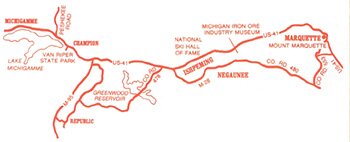
West Color Tour
North Color Tour
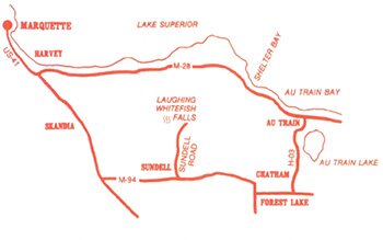
East Color Tour
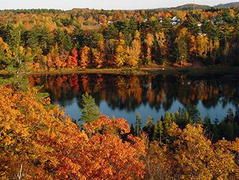
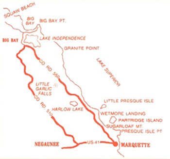
Baby Lake View
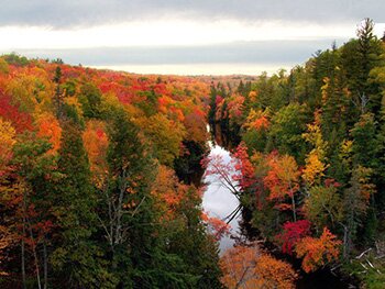
CR 510 Bridge View
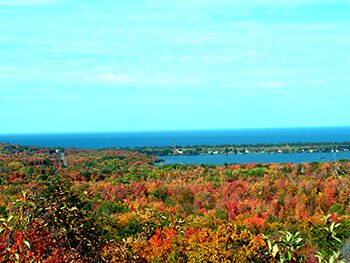
Thomas Rock View
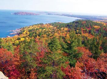
Sugarloaf Mountain View
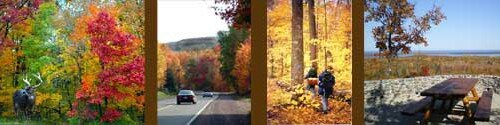
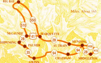
Fall Color Tour Guide
Connect With Us!